URBAN DISPLACEMENT PROJECT: ANTI-DISPLACEMENT POLICY MAPPING
Abstract
Following the Urban Displacement Project's policy collection methodology, this inventory translates municipal codes, housing elements, city programs, and regional planning documents across San Diego and the Inland Empire into a structured, spreadsheet-based policy map. Each jurisdiction is coded across more than twenty anti-displacement levers—spanning tenant protection, preservation, and production—using standardized definitions, keyword searches, and section-by-section review of MuniCode, eCode360, codepublishing.com, city websites, and PDF ordinance archives. The resulting dataset feeds the Urban Displacement Project's policy map, allowing planners and advocates to compare jurisdictional responses to displacement risk and identify gaps where stronger protections or new tools are needed.
Actionable Methodology
- 01Reviewed local tenant protection ordinances and guides and coded their provisions into standardized fields (just cause, no-fault protections, right to return, relocation, notice)
- 02Cross-referenced anti-displacement strategies in regional and local planning documents (SANDAG Anti-Displacement Toolkit, San Diego Estimated Displacement Risk Model, and Inland Empire consolidated plans and action plans) to capture production, preservation, and place-based interventions
- 03Structured the Google Sheets database so each jurisdiction can be filtered by geography, tool type, and strength of protection, enabling overlay with displacement-risk maps for San Diego and emerging vulnerability work in the Inland Empire
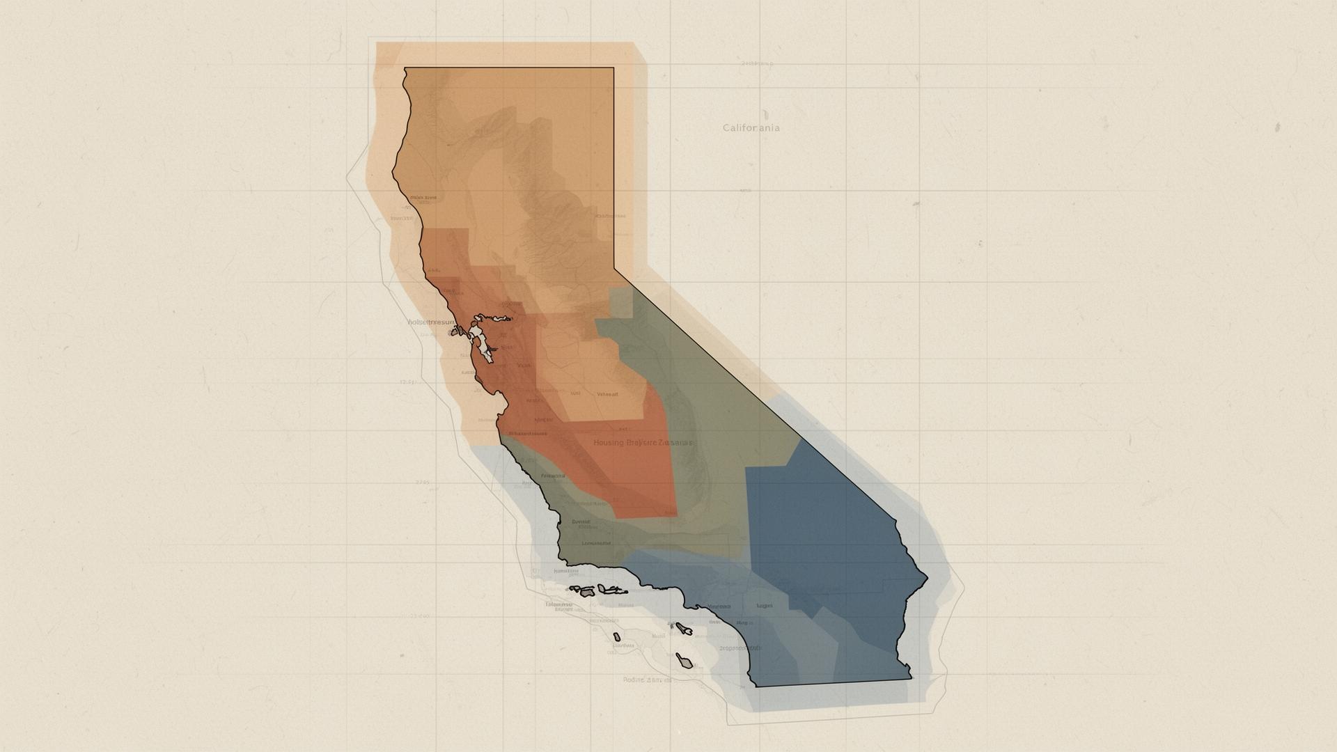
Context
New tenant protections, local housing elements, and SANDAG's Anti-Displacement Strategy are emerging but unevenly implemented across jurisdictions in San Diego and the Inland Empire. This project documents the patchwork of ordinances, programs, and planning documents to identify where stronger protections or new tools are needed.
Method
Policies were located using two complementary approaches: keyword and Ctrl+F searches within municipal codes, housing elements, zoning codes, and city websites; and broader web searches paired with jurisdiction names to surface program-based interventions outside the code. Sources were drawn primarily from MuniCode, eCode360, and codepublishing.com, supplemented by manual PDF databases for ordinances that had been passed but not yet codified. Each policy was recorded by title, chapter, and section, with the most relevant 'purpose/intent' or 'standards' language captured to preserve each jurisdiction's own framing. Definitions were applied flexibly—anchored to UDP's anti-displacement policy white paper—so that nuanced local approaches (for example, condominium conversion permits tied to relocation assistance or density bonuses) could be coded consistently. Standardized language was used across jurisdictions to support downstream search and chatbot legibility, and code-internal definitional sections were excluded to avoid false positives.
Findings
The resulting dataset reveals significant gaps in tenant protections across smaller and suburban jurisdictions. Cities with proactive inclusionary policies and just-cause eviction protections show lower displacement risk scores, while areas relying solely on regional strategies often lack localized enforcement mechanisms.
Implications
The dataset was integrated into the Urban Displacement Project's policy map, allowing planners and advocates to compare cities' responses to displacement risk. It highlights where jurisdictions can adopt stronger protections or introduce new tools, supporting more equitable regional housing outcomes.